The Yellow Line is the line Israel was supposed to stop at — the first-phase withdrawal line of the October 2025 ceasefire, marked on the ground by yellow concrete blocks, beyond which Israeli forces were expected to withdraw further as the ceasefire's later phases took hold. Instead, a year on, the blocks have repeatedly been moved west, into the land where Gaza's 2.1 million people live. What began as a line holding Israel to 53 percent of the Strip has become, by the UN's measure, a zone of control and access restrictions covering about 65 percent of it — and Israel itself has said it controls about 70 percent. For the families living beside it, the line is the ceasefire's real border: movable, lethal to approach, and redrawn, sometimes overnight, by the army that enforces it.
What is the Yellow Line, and where did it come from?
It is the demarcation from phase one of US President Donald Trump's 20-point plan to end the war. Under the first phase of the "ceasefire", Israeli forces were to withdraw to the Yellow Line within 24 hours, after which a 72-hour period began for the handover of Israeli captives held in Gaza. Trump first published a map of the line on his Truth Social platform. The line ran the length of the Strip, leaving its east — mostly farmland and border areas — in Israeli hands and its coastal west to the population. The Israeli military has since marked the line physically: troops began placing concrete barriers topped by yellow poles along it to establish what the military called "tactical clarity on the ground", and the yellow blocks have become the line's visible form. They were expected to mark a pause. Instead, in Al Jazeera's words, the forces "were expected to make further withdrawals gradually, but instead, they have seized more territory."
How much of Gaza did the line enclose at the start?
Fifty-three percent for Israel; 47 percent for 2.1 million people. Before the war, Palestinians were spread across the Gaza Strip, a 365-square-kilometre territory roughly 41 kilometres long and from 6 to 12 kilometres wide, at about 6,000 people per square kilometre — each person with, on average, about 160 square metres of land. Even then, not all of Gaza's land was accessible: Israel enforced a buffer zone along the fence with Israel, and Palestinians who approached it risked being shot. In 2010, the UN Office for the Coordination of Humanitarian Affairs (OCHA) estimated that the restricted area covered 17 percent of Gaza's land and 35 percent of its farmland, and Gaza has been under an Israeli land, air and sea blockade since 2007. The ceasefire line went far beyond the old buffer. It left Israel in control of 53 percent of the Strip and confined Palestinians to the remaining 47 percent, about 172 square kilometres. By October 2025, two years of war had killed more than 67,000 Palestinians, and tens of thousands more had left the territory, reducing Gaza's population to about 2.1 million. Pushed into less than half of Gaza's territory, its density doubled to about 12,000 people per square kilometre, and each person was left with about 82 square metres.
How has the line moved since?
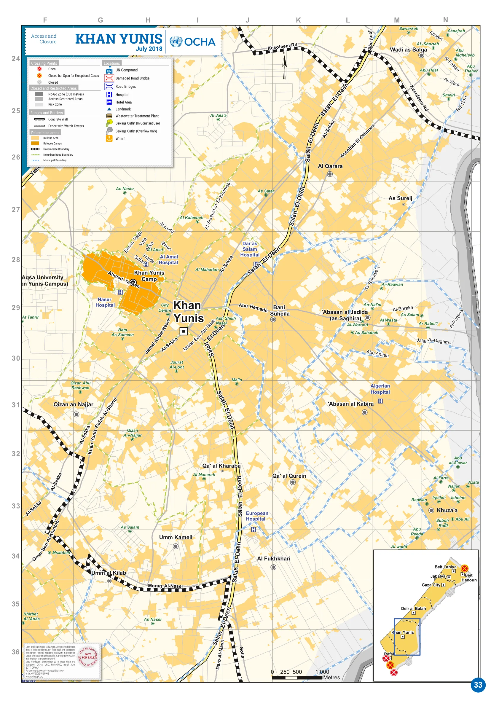
Westward, block by block, sometimes overnight. Since the "ceasefire", Israeli forces have repeatedly moved the yellow concrete blocks marking the Yellow Line farther west, expanding the areas under their control, and satellite imagery has also documented continued demolitions in areas held by Israeli forces. On one Sunday this month, Israeli forces moved yellow concrete blocks dozens of metres west in Shujayea, a neighbourhood in southeastern Gaza City, forcing Palestinian families to flee and bringing more of the neighbourhood under Israeli military control. The research group Forensic Architecture estimated that Israel controlled 58 percent of Gaza by December. In March, the Israeli military sent aid agencies maps of a new "orange line", a restricted zone beyond the Yellow Line where humanitarian movements must be coordinated with the army. According to OCHA, restrictions now cover 65 percent of Gaza; Israel itself said it controls about 70 percent of the territory, a UN official told the Security Council in June. "It's not simply about where the 'Yellow Line' is today but where it can move next," Al Jazeera's Ibrahim al-Khalili said, reporting from Gaza City. "For families who have been repeatedly displaced in the past three years, the situation remains dire, and they have to make the impossible decision of where they can go." More than 90 percent of Gaza's 2.1 million population has been forcibly displaced by the war.
What does the line mean for the people living west of it?
About 61 square metres each, in the most crowded conditions on earth. Nearly two-thirds of Gaza is now under Israeli military control or subject to access restrictions, leaving 2.1 million people in about 35 percent of the Strip, roughly 128 square kilometres. The population density has nearly tripled since before the war to about 16,000 people per square kilometre, and each person now has about 61 square metres of land for everything: shelter, roads, schools, hospitals and farmland. The UN Satellite Centre, UNOSAT, found 82 percent of structures in the Strip are damaged or destroyed, and the UN Food and Agriculture Organization says only 3 percent of Gaza's cropland is both undamaged and accessible. OCHA says the remaining 35 percent of Gaza is "already overcrowded" and access restrictions are a key obstacle as aid groups try to relocate families before the rainy season; more than 950,000 people live in displacement sites at risk of flooding, most of them in tents and makeshift shelters. And approaching the Yellow Line itself can be deadly: Israel treats areas beyond it as a free-fire zone, and Palestinians who come near it have been shot. The UN's latest updates, published on Monday, describe deadly airstrikes, gunfire and shelling in Gaza alongside incursions, demolitions and reported shifts in the yellow line — and nearly 1,500 people have been killed across Gaza since the ceasefire was announced. A line drawn as the first step of a withdrawal has become, a year later, the mechanism by which the territory available to Gaza's people keeps shrinking.
This explainer is drawn from Al Jazeera English's October 12 maps report on the Yellow Line, opened and read in full for this article, and the UN News October 19 report of OCHA's latest updates. Territory percentages are published as each source reported them — Al Jazeera's mapping, Forensic Architecture's estimate, OCHA's restriction coverage and Israel's own figure as relayed to the Security Council — and are not reconciled editorially, because the sources measure related but different things.