The nine-dash line is a U-shaped series of dashes printed on official Chinese maps, sweeping across most of the South China Sea — and it sits at the center of one of the world's most dangerous maritime disputes. Within its loops lie some of the busiest shipping lanes on earth, rich fishing grounds, potential oil and gas reserves, and a scatter of reefs and shoals claimed by China, the Philippines, Vietnam, Malaysia, Brunei, Indonesia and Taiwan.
In 2016, an international tribunal ruled that China's "historic rights" claims inside the nine-dash line have no legal basis. A decade later, the line is still printed on Chinese maps, Chinese coast guard ships still patrol inside it, and standoffs with the Philippines and others continue to escalate — including the confrontation we covered in our report on the [South China Sea standoff](/articles/2026-09-28-south-china-sea-standoff-escalates). This explainer covers where the line came from, what the law says about it, and why it still matters.
Key takeaways
- The nine-dash line first appeared on a Chinese map in 1947 as an eleven-dash line; the People's Republic of China removed two dashes in 1952. Taiwan still uses the eleven-dash version.
- An international tribunal ruled in July 2016 that the line has no legal basis under the UN Convention on the Law of the Sea (UNCLOS). China rejected the ruling and refused to participate in the case.
- China has never precisely defined what the line claims — whether it marks sovereignty over islands, over waters, or something in between. That ambiguity is widely seen as deliberate.
- Facts on the water outran the law. China built artificial islands and military outposts across the disputed zone, creating what analysts call a fait accompli that no legal ruling has reversed.
Contents
- What the nine-dash line is
- The nine-dash line vs. international law
- The 2016 tribunal ruling — and why it changed little
- Why the nine-dash line still drives confrontation
What the nine-dash line is
The line's origins are cartographic, not legal. In December 1947, the Republic of China's Ministry of the Interior published a "Location Map of South Sea Islands" showing an eleven-dash U-shaped line enclosing most of the South China Sea. After the Communist victory in the Chinese civil war, the People's Republic of China adopted the map but, in 1952, removed the two dashes in the Gulf of Tonkin — a concession to the newly independent North Vietnam. Taiwan, where the Republic of China government retreated in 1949, still uses the eleven-dash version.
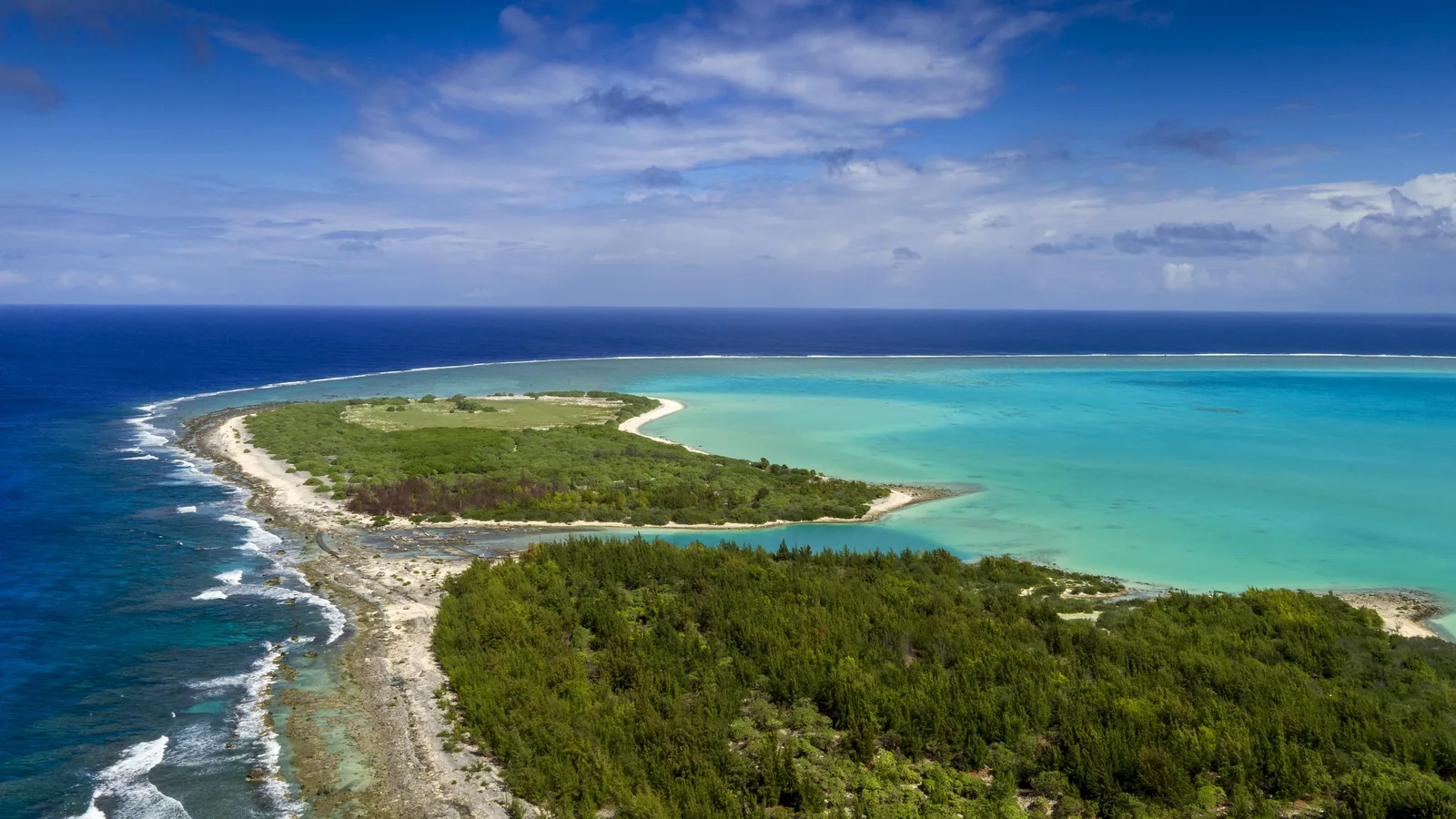
The enclosed area covers the Paracel Islands, the Spratly Islands, Scarborough Shoal, the Pratas Islands and Macclesfield Bank — features also claimed in whole or part by the Philippines, Vietnam, Malaysia, Brunei and Taiwan. Parts of the line overlap Indonesia's exclusive economic zone near the Natuna Islands.
For decades the line existed mostly as a map feature. That changed in May 2009, when China attached a map showing the nine dashes to two diplomatic notes submitted to the UN Secretary-General, objecting to Malaysian and Vietnamese continental-shelf submissions. Malaysia, Vietnam, Indonesia and later the Philippines all protested. The line had moved from cartography to formal state claim — without China ever clarifying exactly what the dashes enclosed.
China has offered partial clarifications. In 2020, Foreign Minister Wang Yi said "the allegation that China claims all waters within the dotted line as its internal waters and territorial sea is totally unfounded." But Beijing has never published coordinates for the line or a legal definition of its status.
The nine-dash line vs. international law
The modern law of the sea is built on the 1982 UN Convention on the Law of the Sea (UNCLOS), which China ratified in 1996. UNCLOS gives coastal states an exclusive economic zone (EEZ) extending 200 nautical miles (370 km) from their coasts, with sovereign rights over fishing, oil exploitation and other resources — rights that exist regardless of any "historic" claim.
The Philippines tested the nine-dash line against that framework. In January 2013, Manila initiated compulsory arbitration against China under UNCLOS over China's historic-rights claims inside the line and related issues. China refused to participate, declaring in 2013 that it would not take part and publishing a 2014 position paper arguing the tribunal lacked jurisdiction. The tribunal proceeded anyway.
The 2016 tribunal ruling — and why it changed little
On 12 July 2016, the arbitral tribunal — with the Permanent Court of Arbitration in The Hague as registry — ruled overwhelmingly in favor of the Philippines. Its key findings, as summarized by the European Parliament's research service:
- China's "nine-dash line" and "historic claims" have no legal basis under UNCLOS;
- China had violated the Philippines' rights with regard to fishing, oil exploitation, land reclamation and artificial island building;
- China had caused severe damage to the marine environment, including through harmful fishing methods and harvesting endangered species;
- None of the disputed Spratly features — even those controlled by Beijing — counted as habitable islands capable of sustaining economic activity, so none generated an EEZ.
The tribunal did not rule on sovereignty over any feature or delimit maritime boundaries — only on entitlements. Its answer: historic rights to resources in these waters were "extinguished" as incompatible with the EEZ regime.
Beijing's reaction was furious and categorical. China said it "neither accepts nor recognises" the ruling — in the words of Foreign Ministry spokesman Zhao Lijian in 2021, it was "nothing more than a piece of waste paper" and "illegal, null, and void." Taiwan, which makes essentially the same nine-dash/eleven-dash claim, also rejected it.
The Philippines itself undercut the ruling's momentum. President Rodrigo Duterte, who took office less than two weeks before the award, set it aside in favor of warmer ties with Beijing — at one point calling it "just a piece of paper" he would "throw away in the wastebasket," as Al Jazeera reported. The legal victory was never converted into leverage.
Why the nine-dash line still drives confrontation
While lawyers debated the ruling, China changed the facts on the water. Beginning around 2013, Beijing dredged sand onto disputed reefs and built artificial islands — complete with runways, harbors and military installations — across the Spratlys, including within the Philippines' EEZ, while massing hundreds of vessels, believed to include maritime militia, inside Philippine waters.
"There's no way to reverse the fait accompli short of evicting the Chinese from those artificial outposts by use of force, which would mean war." — Collin Koh, S. Rajaratnam School of International Studies, to Al Jazeera
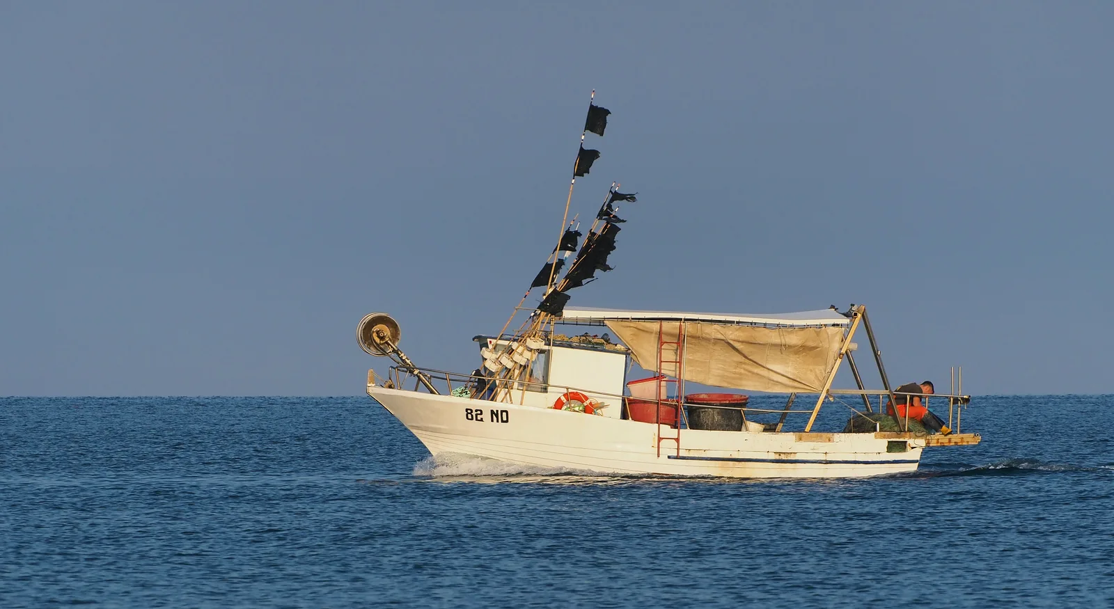
That is why the nine-dash line keeps producing crises. The European Parliament's analysis flagged the structural drivers: "increasingly asymmetric power relations between China and adjacent south-east Asian countries, fierce competition over fishing grounds and oil and gas deposits in disputed areas, and growing Sino-US geo-strategic rivalry." Each encounter — water-cannon clashes at Second Thomas Shoal, the Scarborough Shoal standoffs, the vessel swarmings — is the same underlying dispute wearing a new incident's clothes.
What to watch: whether Manila sustains a consistent stance on the 2016 award, whether ASEAN's code of conduct ever constrains behavior — and whether the next serious collision at sea finally forces the question the tribunal left unanswered: who backs down when law and power disagree.